| HOME | ABOUT US | SERVICES | GETTING STARTED | GIS MAPPING | SAMPLES | CONTACT US |
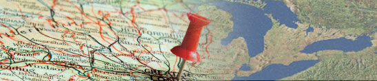
A Proposal for Getting Started with GIS Mapping
The following is a proposal for implementing GIS in your county:
· GIS Midwest will create a live, interactive GIS Base Map of your county. This county GIS map can be made available to just a few selected workstations, or it can be made available to everyone on the county Intranet. No special software is required on your computer to access your GIS map.
OR
Your county's GIS map can be made available to anyone via the Internet - it will be able to be viewed by anyone from anywhere in the world. Again, no special software is required on your computer to access the GIS map.
· Your GIS map will include the following information:
- Streams / Ditches / Rivers
- Lakes
- Roads / Railroads
- Sections
- Townships
- Municipal Boundaries
- Watersheds
- School Districts
- Voter Districts
- Aerial Photographs
- Topographical Maps
- Original Survey Maps
· GIS Midwest will also incorporate any existing GIS data files that your county already has into this mapping system
· Result: A functioning GIS for your county delivered over the Internet to your selected target viewers, resulting in increased productivity and a foundation for future GIS work in your county.
The Process
One of the first steps GIS Midwest takes is to have Matthew Runke, our GIS Professional, consult with your county offices. He will visit your county departments and evaluate whether the information methods currently being used by your county can be easily converted into a future GIS mapping system. Throughout GIS Midwest's evaluations of county departments, we have discovered that most counties already have some GIS information available and ready to be implemented. GIS Midwest will evaluate what GIS assets your county already has, and then incorporate them into your county's newly constructed GIS.
GIS Midwest will have your county's GIS map functioning on the Internet within 6 weeks of your county notifying us to proceed. When corrections and updates are made to your GIS, they will be made immediately available for all of the GIS users to view.